
![[Location Closed]](https://images.squarespace-cdn.com/content/v1/5a2b47da4c0dbf858e65f149/1521567166794-IMMPICE2XVUKYBI3CSHP/DJI_0074.jpg)
![[Location Closed]](https://images.squarespace-cdn.com/content/v1/5a2b47da4c0dbf858e65f149/1521588318034-G38TRSW86OI3L40GY9C0/DJI_0082.jpg)
Collected through traveling across the world, I have documented landscapes from a perspective unique to most. Using the drone as a way to capture my career and interests, I have logged hours behind the controller allowing for smooth pans, clean stitches, and relevant content.
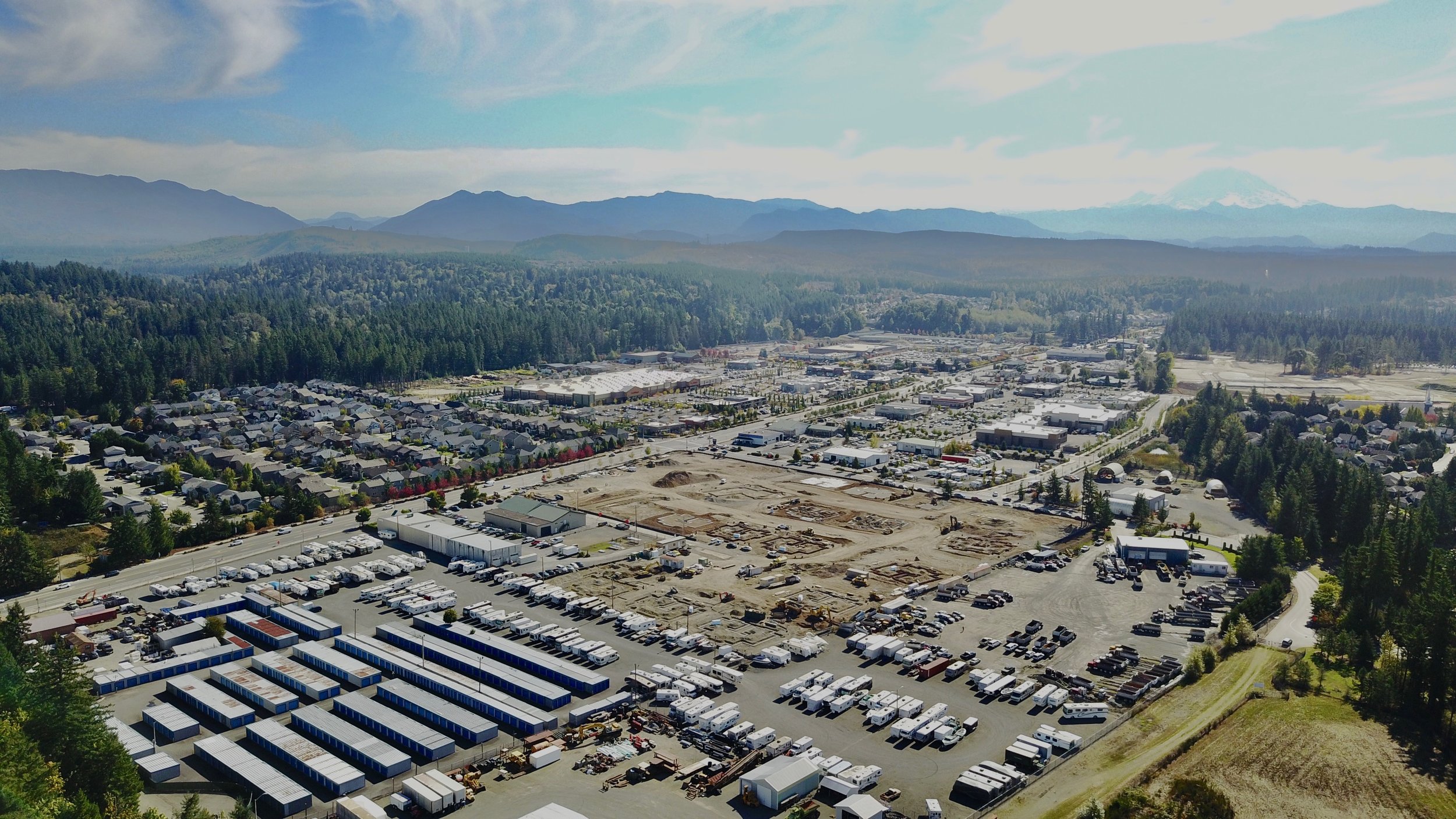
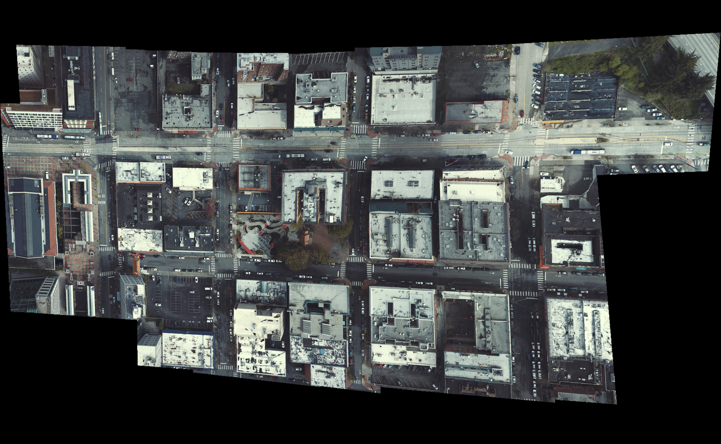
Using a drone in the context of urban planning has aided in my ability to convey ideas. This tool provides clients with site-specific, high-quality images.
47.369402, -122.028377
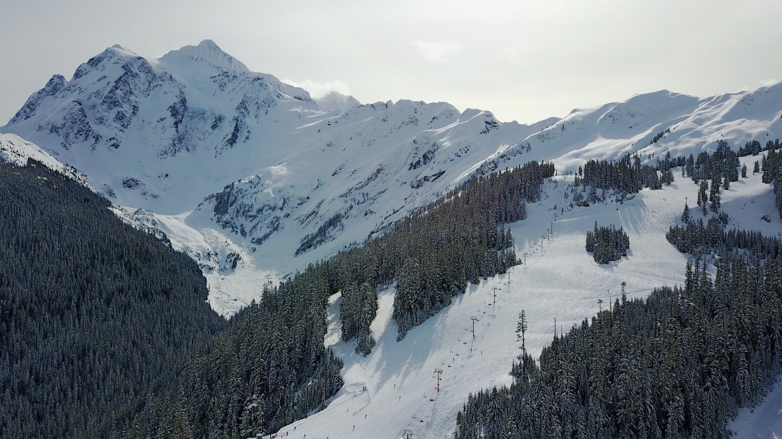
Taken while shooting a video about Mt. Baker ski resort’s snowpack.
48.862846, -121.682020
Taken while backpacking in Montana.
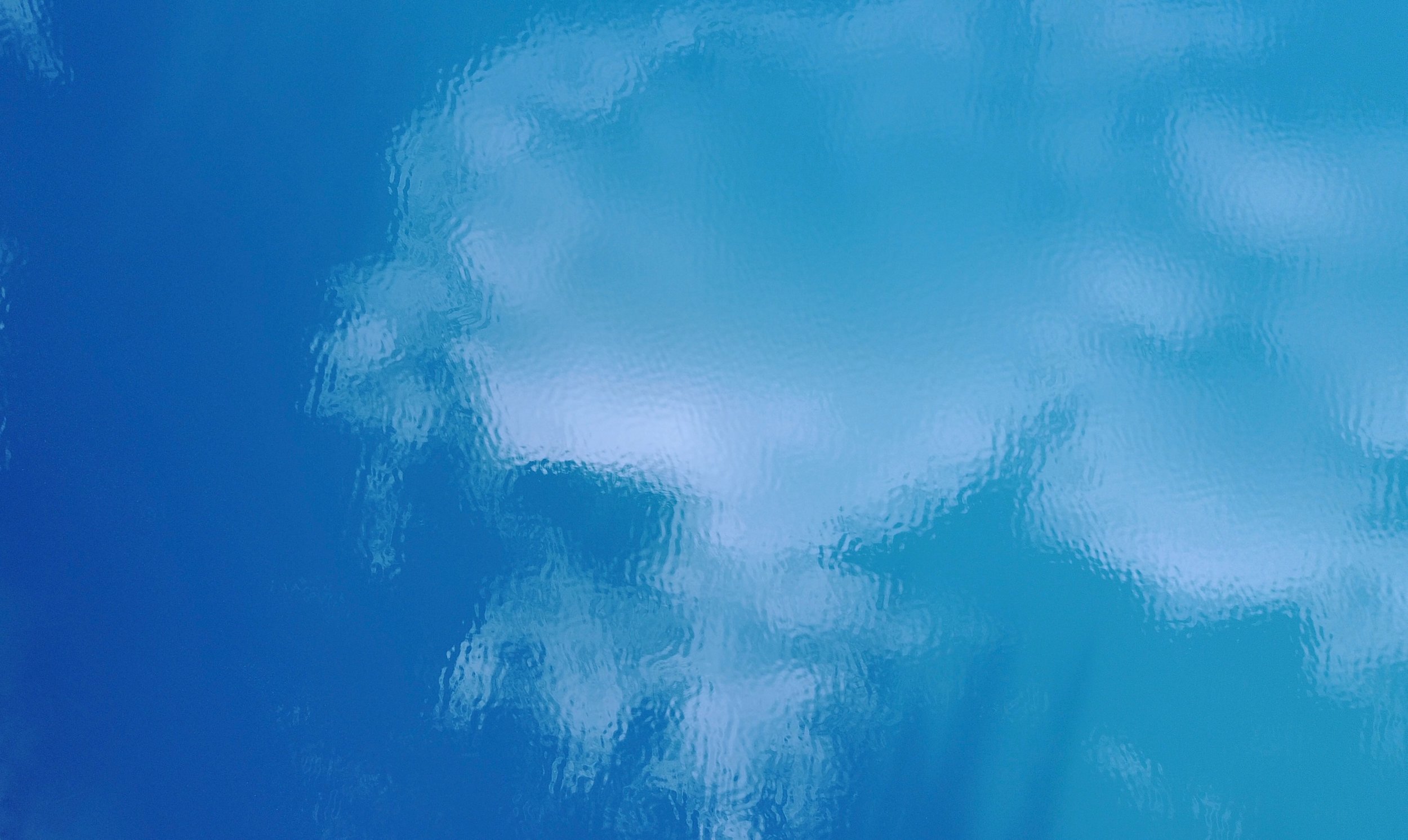
Frozen lake on top of mountain.
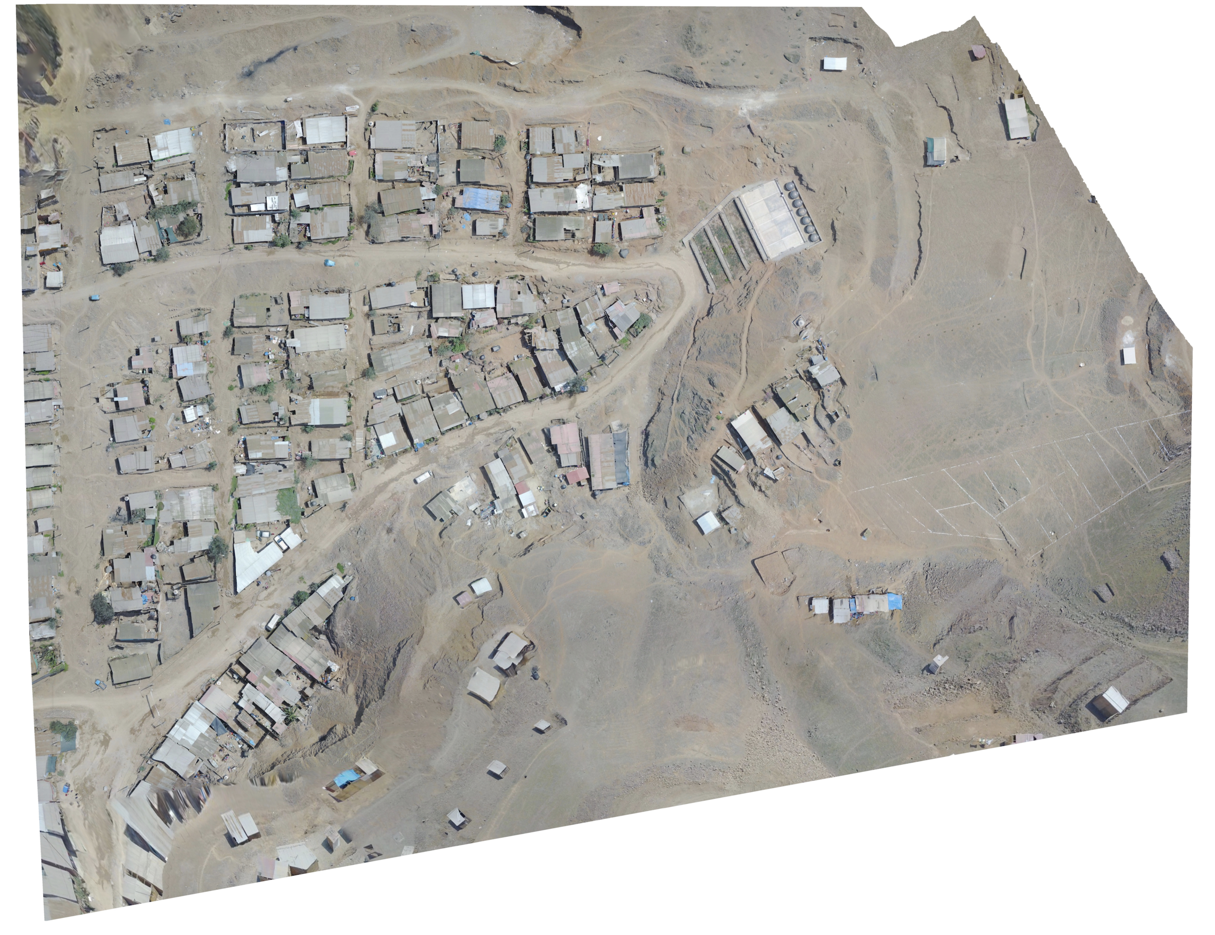
Preformed Aerial mapping of the Eliseo Collazos Community, a community within the informal settlements of Peru’s Lima District. This image captures the living conditions caused by overpopulation in Lima.
-11.819703, -77.096012
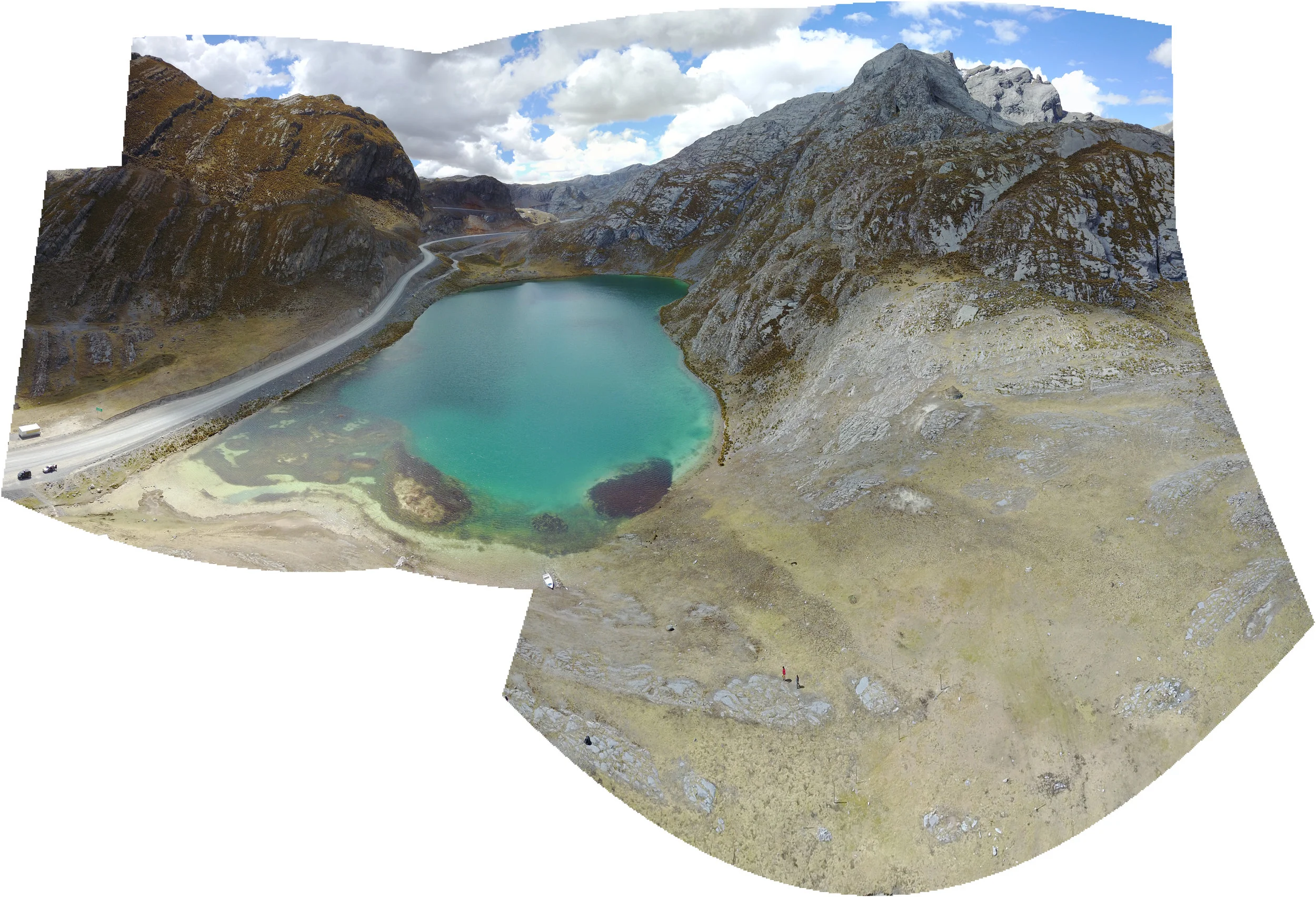
Taken approximately 15,100 ft above sea level, this is the only aerial photograph taken of this lake in the mountains of Peru.
-11.359632, -76.439762
Hidden Alpine Lake in Montana